UK Postcode Data and Statistics
Geoinformation, maps, downloads and statistics for UK Postcodes
Overview
UK Postcode is an online resource that uses data associated with UK postcodes to allow searches, maps, downloads and comments. This data can assist you with marketing, research and other data analysis.
To get started, try the search page where you can search for a postcode, a postcode district or area.
Postcode Facts and Trivia
- London originally had postcodes N, NE, E, SE, S, SW, W, AND NW (the 8 compass points). As time passed EC and WC (East and West Central) were added. NE and S were removed, leaving N, E, SE, SW, W, NW, EC and WC
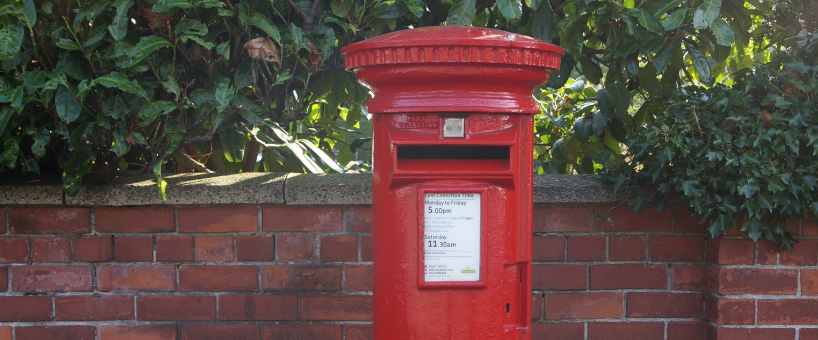
- The Hex code of the red post box is #A23B3C
- One of the origins of the word post is : c. 1500, "riders and horses posted at intervals" to provide direct and rapid communication of messages and letters from one place to another by relays, from post on notion of riders and horses "posted" at intervals along a route. Probably formed on model of French poste in this sense (late 15c.)
- In 1985 the Optical Character Recognition system was introduced. This automatically reads the postcode on printed addresses and prints the appropriate phosphorescent dots on to the envelope. This allowed letters to be sorted at a much faster rate
- The last two letters in a postcode are never taken from C, I, K, M, O or V
Other Tools and Features
If you wish to see a list of random UK postcodes click here.
Check if a Postcode is Inside London Congestion Charge Zone by typing a postcode.
Check if a Postcode is Inside the M25 motorway by typing a postcode.
You can find out about recent updates on UK Postcode by visiting the news and updates page.
List of Postcode Areas
AB, AL, B, BA, BB, BD, BH, BL, BN, BR, BS, BT, CA, CB, CF, CH, CM, CO, CR, CT, CV, CW, DA, DD, DE, DG, DH, DL, DN, DT, DY, E, EC, EH, EN, EX, FK, FY, G, GL, GU, GY, HA, HD, HG, HP, HR, HS, HU, HX, IG, IM, IP, IV, JE, KA, KT, KW, KY, L, LA, LD, LE, LL, LN, LS, LU, M, ME, MK, ML, N, NE, NG, NN, NP, NR, NW, OL, OX, PA, PE, PH, PL, PO, PR, RG, RH, RM, S, SA, SE, SG, SK, SL, SM, SN, SO, SP, SR, SS, ST, SW, SY, TA, TD, TF, TN, TQ, TR, TS, TW, UB, W, WA, WC, WD, WF, WN, WR, WS, WV, YO, ZE